
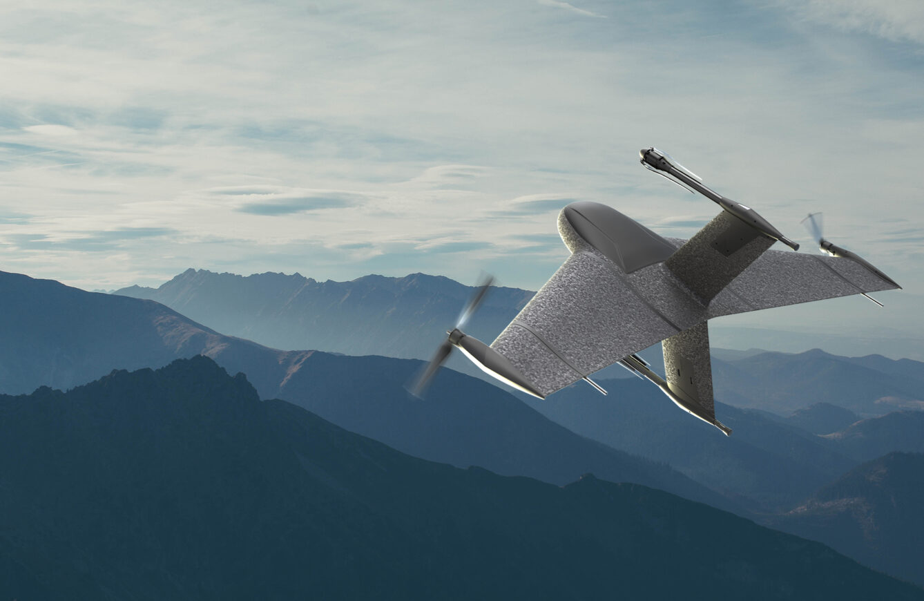
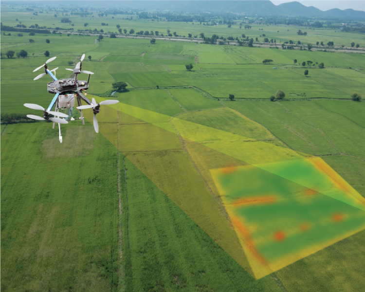
Global drone logistics is growing rapidly
The development of drone logistics is accelerating globally, and the latest developments in recent days have once again attracted attention from the …
- Post date: 22 Mar, 2024
- 235 Views
- 0 Comments
The future of composite drone frame
Composite Factory, a leading designer and manufacturer of complex composite structures and components for UAV, military and aerospace applications, has launched a …
- Post date: 22 Mar, 2024
- 209 Views
- 0 Comments
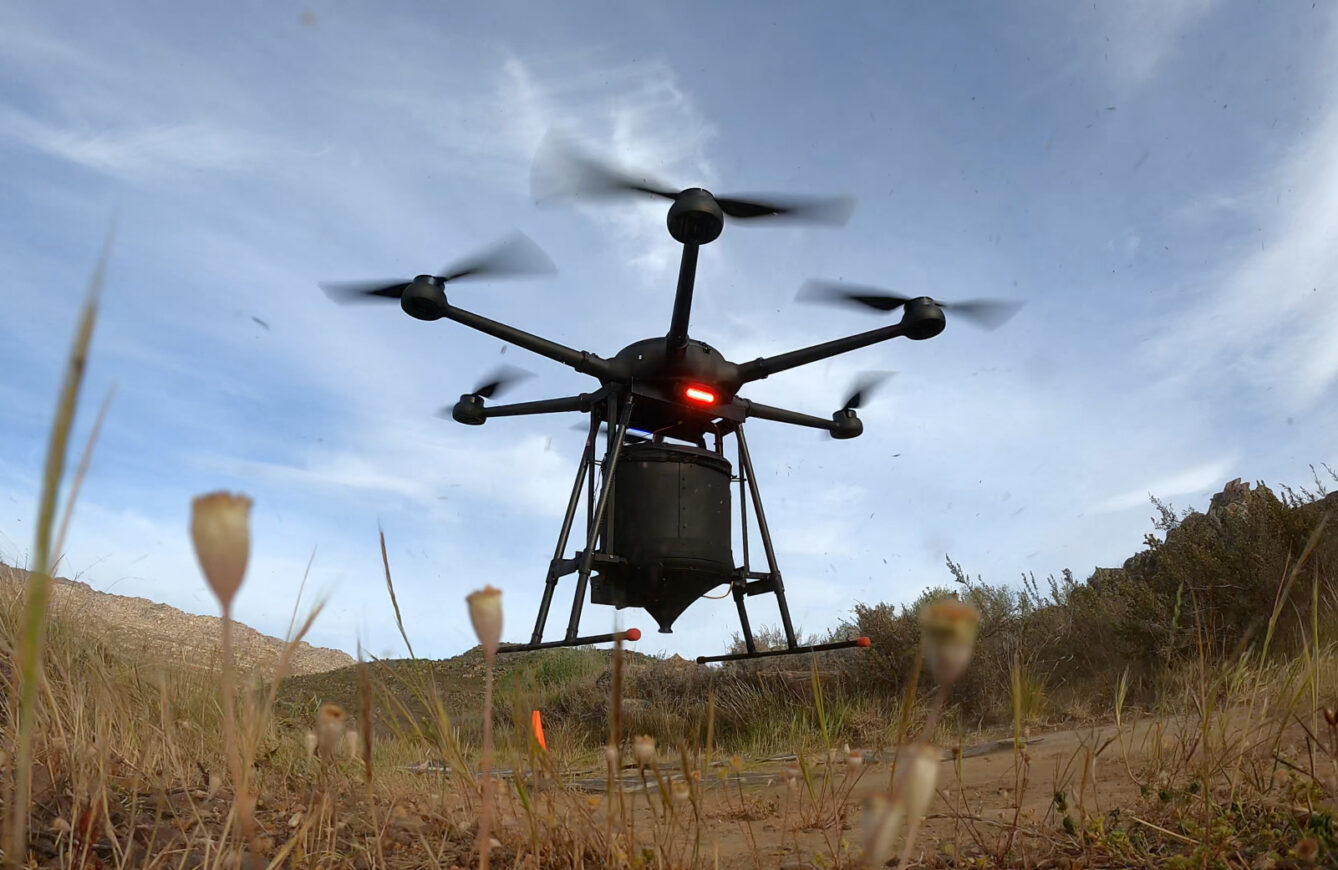
Using seed-dropping drones to plant trees will be a big business
Planting more trees is one of the most obvious steps we need to take to remove carbon from the atmosphere, given their …
- Post date: 22 Mar, 2024
- 161 Views
- 0 Comments
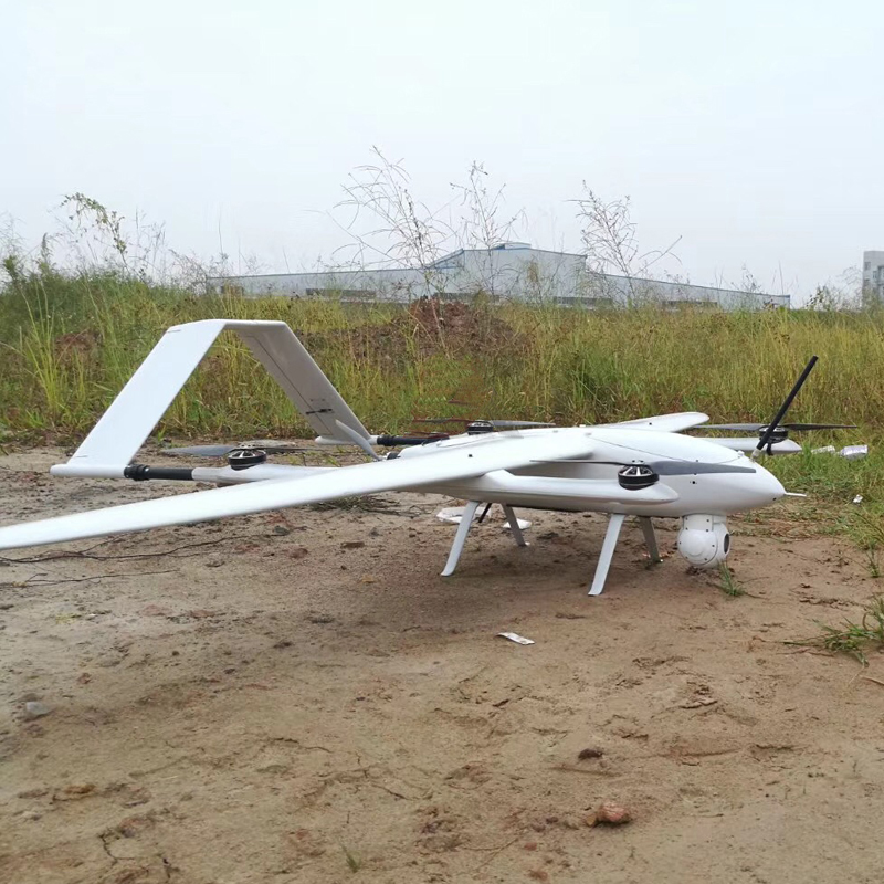
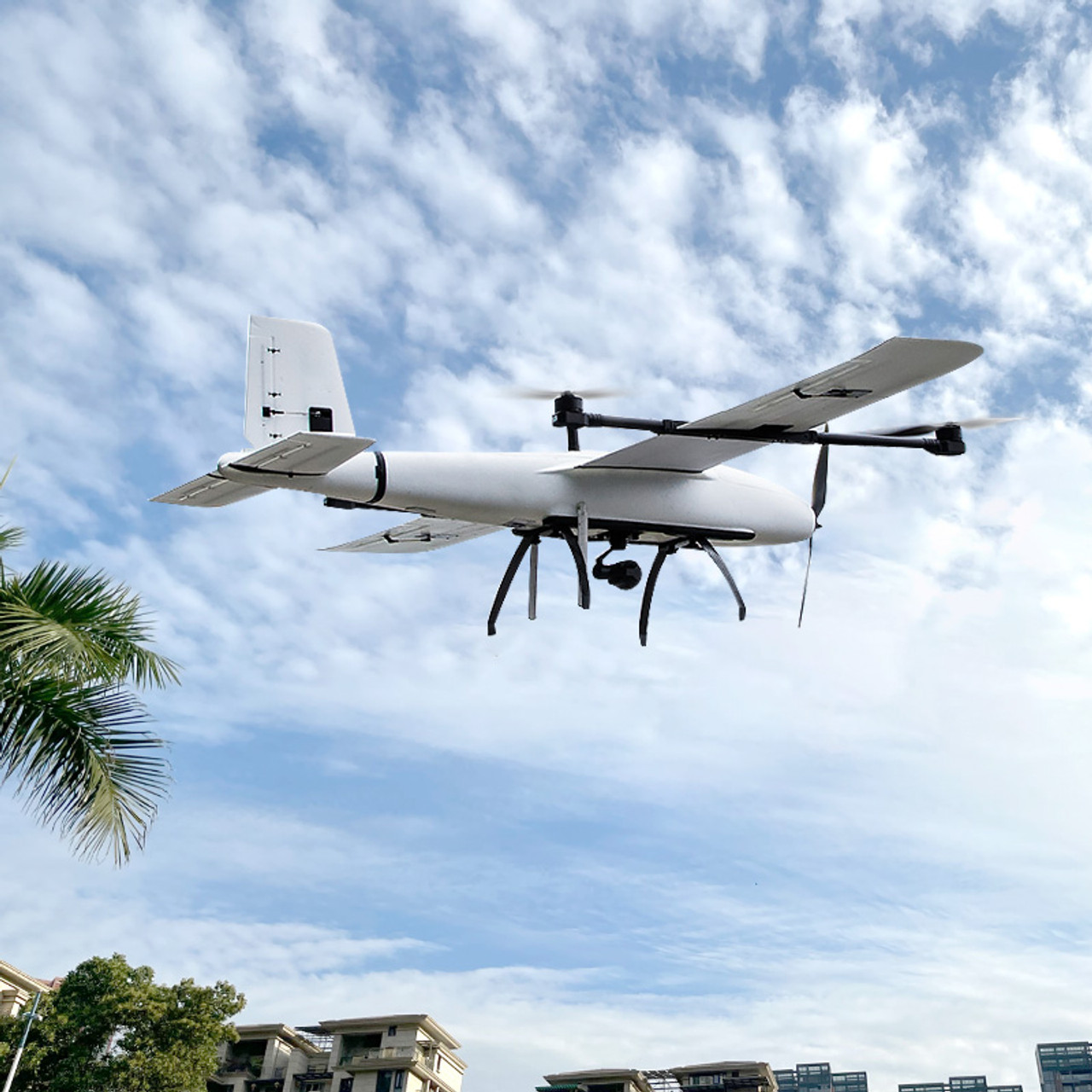
Why choose long endurance fixed-wing VTOL drone for mapping and surveying?
When selecting a drone to complete the mission of your project you’re going to need to take into consideration a number of …
- Post date: 22 Mar, 2024
- 293 Views
- 0 Comments
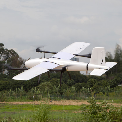
Advantages of VTOL fixed-wing drone mapping and surveying than traditional
VTOL fixed-wing drone have fundamentally changed the way mapping and surveying work. Some people confuse the two, but they are different. While …
- Post date: 21 Mar, 2024
- 201 Views
- 0 Comments
How do drones change the mapping industry?
When traditional surveying and mapping companies are still busy looking around for business, they don’t know that emerging drone surveying and mapping …
- Post date: 21 Mar, 2024
- 180 Views
- 0 Comments
What types of drone kit frame are there? How to choose?
Problems that must be faced in making a drone sprayer: how to choose the correct motor, battery, ESC and water pump. Only …
- Post date: 21 Mar, 2024
- 214 Views
- 0 Comments
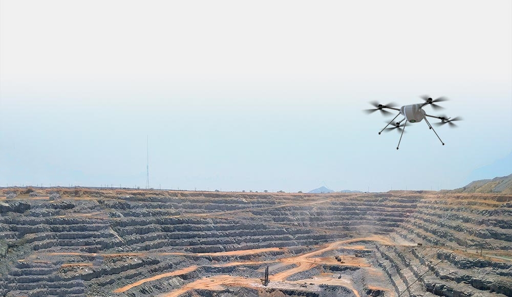
The application of drone Lidar in mining survey
Drone-borne lidar technology can obtain spatial information quickly, efficiently and safely. Airborne lidar technology completes the detection work through the flight of …
- Post date: 20 Mar, 2024
- 356 Views
- 0 Comments
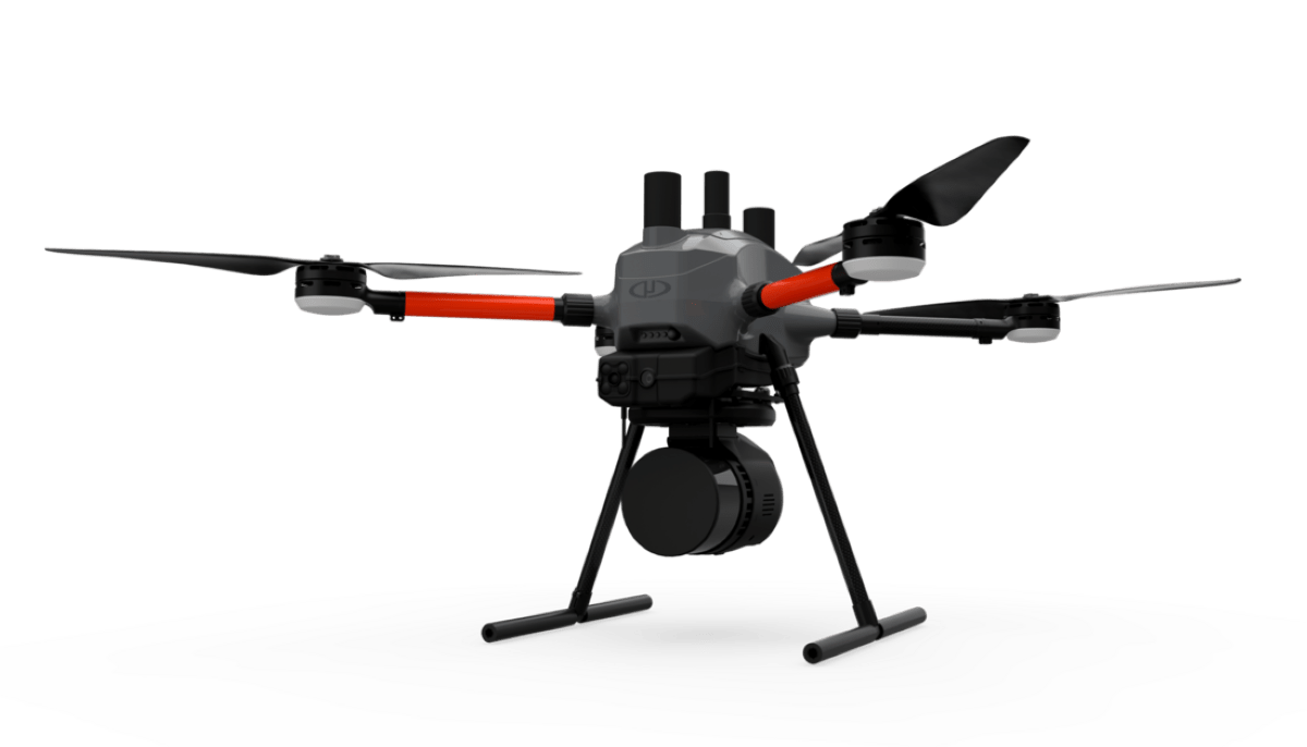
What would cause drone LiDAR data errors?
Drone LiDAR is an integrated system of multiple sensors, so the mapping accuracy is jointly affected by various components in the system, …
- Post date: 20 Mar, 2024
- 255 Views
- 0 Comments
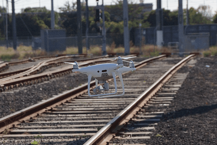
Application of drone LiDAR in railway exploration project
The drone lidar measurement technology obtains the precise three-dimensional coordinates of ground objects by constructing a high-precision digital ground model. Therefore, the …
- Post date: 20 Mar, 2024
- 185 Views
- 0 Comments